|
|
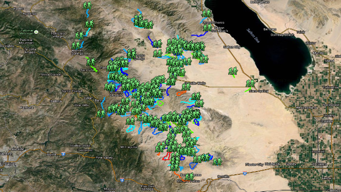
This map shows all hikes in the and around the Anza Borrego Desert.
Including roads.
|
| |
|
|
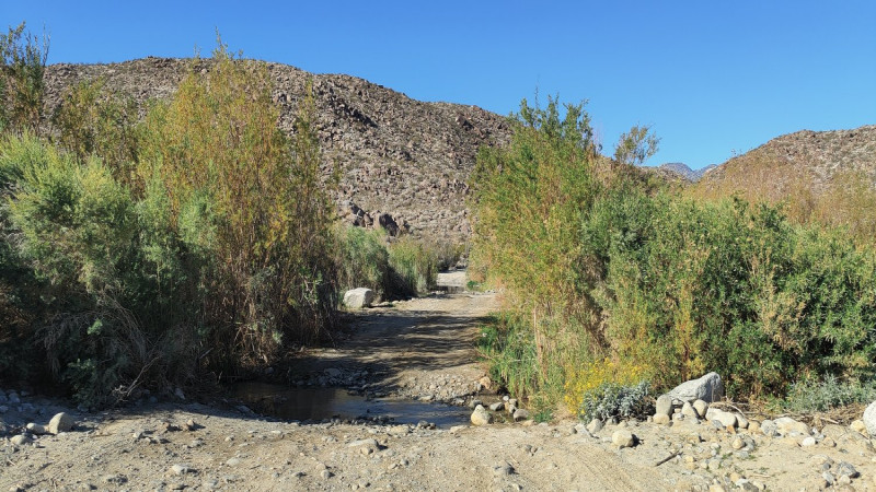
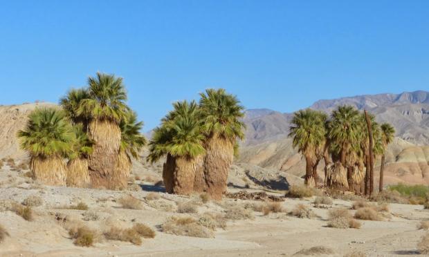
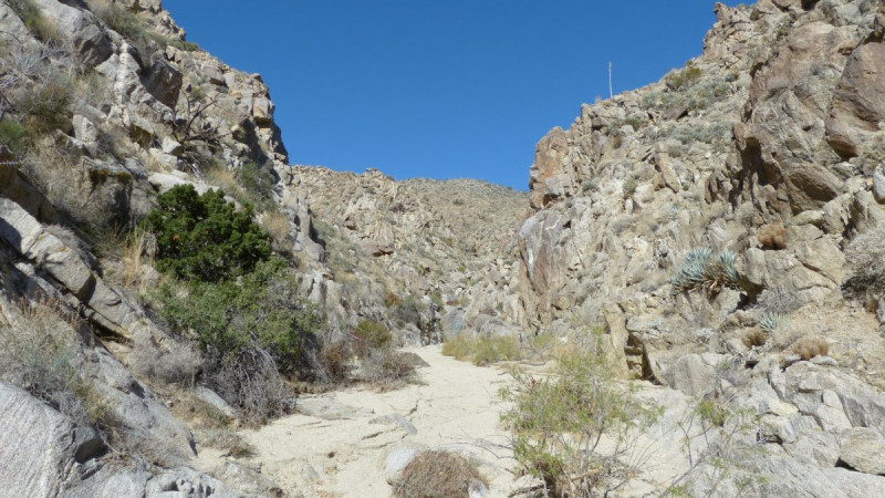
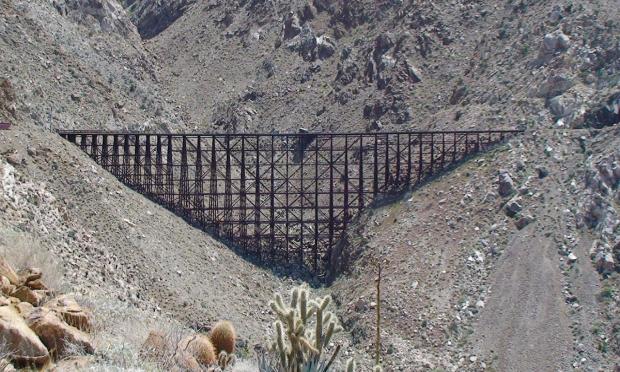
Coyote canyon north of Borrego Springs.
Follow Di Gorgio Rd.
Alcoholic Pass, Alder Canyon, Ash Wash, Bennis Bowl, Box Canyon, Cougar Canyon, Collins Valley, Coyote Creek, First Crossing, Galletta Meadows, Henderson Canyon, Horse Camp, Horse Canyon, Indian Canyon, Lower Willows, Middle Willows, Ocotillo Flat, Parks Canyon, Salvador Canyon, Second Crossing, Sheep Canyon, Third Crossing, Tule Canyon, Turkey Track, White wash.
|
| |
|
|
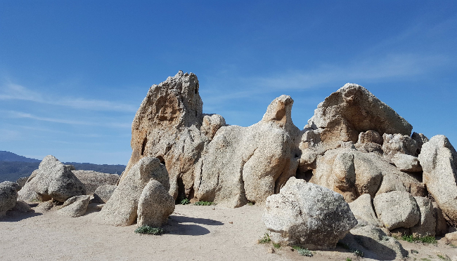
Clark valley north/east of Borrego Springs.
Butler Canyon, Clark Dry Lake, Coyote Mountain, Little Clark Dry Lake, Lute Fault Scarp, Rockhouse Canyon, Jackass Flat.
|
| |
|
|
North of Hwy S22, east of Borrego Springs.
Follow the S22 East, Borrego Salton Seaway.
Hikes are north of the road.
Arroyo Salado, Calcite Mine, Coachwhip Wash, Ella Wash, Grave Wash, Joshua Canyon, North Palm Wash, Palm Peak, Palm Wash, Palo Verde Wash, Pyramid Peak, Rattlesnake Canyon, Smoketree Canyon, Traveler Peak, Travertine Palms, Truckhaven Rocks, Villager Peak, Wonderstone Wash.
|
| |
|
|
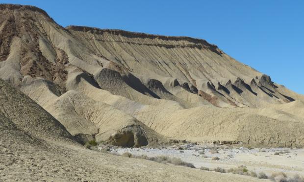
Between the S22 East, Borrego Salton Seaway.
and Highway 78 East.
1 Palm, 5 Palms, 17 Palms, Ant hill, Arroyo salado, Artesian well, Bank Wash, Big wash, Blow sand canyon, Borrego Badlands, Borrego Mountains, Clay Hills, Dump Wash, East Butte, Ella Wash, Eriogonum Wash, Fault wash, Fonts point, Gas Domes, Hawk canyon, Hills of the moon, Inspiration point, Ironwood Resort, Malpais, Military Wash, Palo Verde Wash, Pumpkin patch, Rainbow wash, Slot canyon, San Felipe creek, San Sebastian marsh, Short wash, Tarantula wash, Thule Wash, The Slot, Third wash, Thimble trail, Oil Well Wash, West butte.
|
| |
|
|
South of the Christmas Circle in Borrego Springs.
South and West of the S3.
The S3 leads up to the Yaqui Pass.
Glorietta canyon, Yaqui Meadows, Yaqui Ridge.
|
| |
|
|
West of Borrego springs.
Winding up the Montezuma Hwy up to Ranchita and further.
Barrel spring, Big Spring, Bubbling Springs, Buck Canyon, California Riding and Hiking, Chief Rain In The Face, Chimney Rock, Culp Valley, Dry Canyon, Eagle Rock, Flatcat, Flat Cat, Hellhole Canyon, Indian Head, Jasper Trail, Little Surprise Canyon, Middle Spring, Montezuma Mine, Palm Canyon, Pena Spring, Pinyon Spring, The Slab, Thimble Peak, Tubb Canyon, Wilson Trail, Wilson Mountain and Ysidrio Peak.
|
| |
|
|
South west of Borrego springs.
Grapevine Canyon towards the San Felipe hills.
Angelina Spring, Barrel Spring, Bitter Creek, California Riding and Hiking, Grapevine Peak, Pacific Crest Trail, San Felipe Hills, Willow Spring.
|
| |
|
|
South of Hwy 78.
Alma wash, Bighorn canyon, Cactus Valley, Chuckwalla wash, Harper canyon, Kenyon cove, Kumeyaay village, Lizard wash, Mine wash, Narrows earth, Nolina canyon, Perpendicular bluff, Pinyon canyon/wash, Plum canyon, Quarz vein wash, Sentenac canyon, Sunset wash, Sentenac Cienega.
|
| |
|
|
South of Ocotillo Wells, take the Split Mountain Rd.
Follow the Fish Creek Wash (high clearance and/or AWD)
Blackwood Basin, Cairn Wash, Camels Head Wash, Coral Wash, Dave Mc Cain Spring, Dieguenos Wash, Diablo Drop-off, Elephant Knees, FishCreek, Fish Creek Mountain, Jigsaw Wash, Layer Cake Wash, Loom Lobby Range, Loop Wash, Lycium Wash, Mud Hills, Mud Palisades, No Return canyon, Olla Wash, Oyster Shell Wash, Pirate Wash, Sandstone Canyon, Wind Caves, Gypsum Peak.
|
| |
|
|
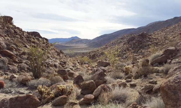
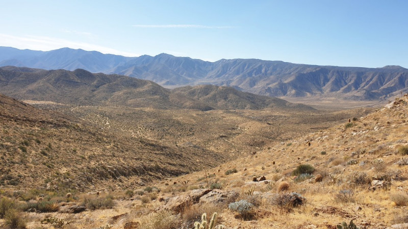
South of scissors crossing along the S2 and from Julian along the S1.
Including the Vallecito County Park.
Banner, Blair Valley, Box Canyon, Chariot Mountain, Cool Canyon, Cottonwood Canyon, Fages, Felden deposit, Ghost Mountain, Golden Queen Mine, Granite mountain, Green Valley, Hawi Vallecito, Hornblende Canyon, Kwaaymi Point, Lucky Strike Mine, North Pinyon Mountain, Oriflamme Canyon, Pinyon Mine Wash, Rainbow Canyon, Rodriguez Canyon, Salt Creek, Scissors Crossing, Smuggler Canyon, Storm Canyon, The Potrero and Whale peak.
|
| |
|
|
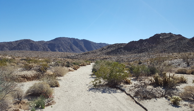
South of the Vallecito County Park.
Up to the Carrizo Creek.
Agua Caliente, Arroyo Hueso, Arroyo Seco del Diablo, Bisnaga Alta, Bisnaga Wash, Bow Willow, Canebrake, Diablo Canyon, Dieguenos Wash, Garnet Peak, Gert Wash, Indian Gorge, Indian Valley, Inner Pastures, Ironwood Canyon, June Wash, Tapiado Seco Del Diablo, Marsh Canyon, Moonlight Canyon, Mud Caves, Mountain Palm Springs, North Wash, Palm Spring, Rockhouse Canyon, Smuggler Canyon, Sombrero Peak, Squaw Canyon, Torote Canyon, Vallecito Canyon, View of the Badlands Wash
|
| |
|
|
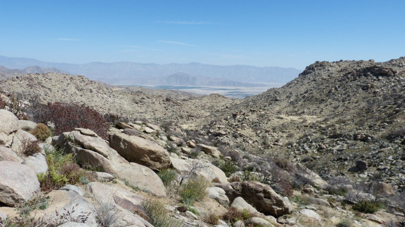
South of the Carrizo Creek.
Up to and south of the I8.
Andrade Canyon, Carrizo Creek, Devils Canyon, Dolomite Mine, Domelands, Fossil Canyon, Gert Wash, Goat Canyon, In-Ko-Pah County Park, Jim Canyon, Jojoba Wash, Jucumba Canyon, Lava Flow Wash, Mortero Palms, Mortero Canyon, Red Hill, Rockhouse Canyon, Sin Nombre, Sweeney/Sweeny Pass, Trestle, Table Mountain, The Anza Resort, Trestle, Valley of the Moon, Volcanic Hills, Wind Caves.
|
| |
|
|
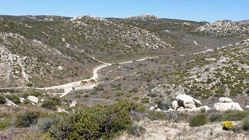
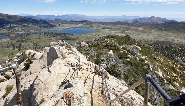
West of the S1, Sunrise highway. including Hwy 79.
Agua Dulce, Arroyo Seco, Azalea Spring, Big Laguna Lake, Burn Pine Trail, Blue Ribbon, California Riding and Hiking, Champagne Pass, Chico Ravine, Cold Stream, Cuyamaca Peak, Deer Creek, Descanso Creek, Dyar Spring Trail, East Mesa, East Side Trail, Fox Trail, Fern Flat, Glenn Trail, Green Valley, Green Valley Falls, Harvey Moore Trail, Hill Trail, Hual-Cu-Cuish, Indian Creek, Juaquapin Creek, Laguna Mountain, La Cima Trail, Lake Cuyamaca, Little Laguna Lake, Lookout Fire Rd, Los Caballos, Los Vaqueros, Marty Minshall, Middle Peak, Milk Ranch Road, Monument Trail, Noble Canyon, Oakzanita Peak, Paso Picacho, Penny Pines, Pine Trail, Pine Mountain trail, Rattle Snake Valley, Red-Tailed Roost, Saddle Back Trail, Soapstone Grade, South Boundary Fire Road, Stonewall Creek, Stonewall Peak, Sunset Trail. Sweetwater, Trout Pond, Vern Whitaker, West Mesa trail, West Side Trail, Wooded Hill.
|
| |
|
|
North west part of the park.
This area is in or just outside the park boundary.
It's covered with denser vegetation, so hiking is mostly limited to established trails.
Baptist Trail, California Hiking and Horse trail, Cedar Trail, Chimney Flats Trail, Combs Peak, Doane Valley, Eagle Rock, Johnson Canyon, Lost Valley, Pacific Crest Trail, Palomar Mountain, Scott's Cabin Trail, Silvercrest Trail, Thule Canyon, Thunder Spring Trail, Warner Springs.
|
| |
|
|
From the San Felipe Valley Wildlife area over Volcan Mountain upto Santa Ysabel.
San Felipe Valley Wildlife area, Volcan Mountain, Santa Ysabel.
|
| |
|
|
The sand dunes far South/East of the Anza Borrego Desert.
Algodones, Sand Dunes.
|
==================================================================================== -->